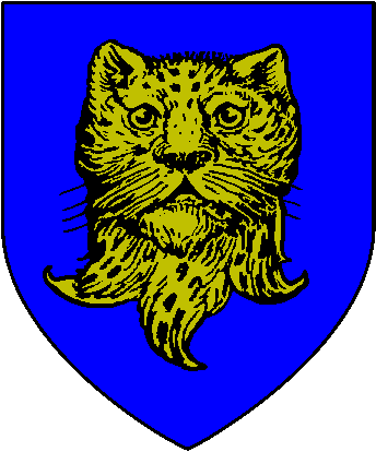
Barony of Huntingdon
 | |
|---|---|
| Founded | c. 600 FA |
| Size | Minor Kingdom |
| Fealty | Western Reaches |
| Ruler | Lord Nils Treadway, Baron of Huntingdon |
| Hex | xxx |
History
In the First and Second Ages, this fertile land bounded on the north by the Lost River and on the South by the Sirendell River was a vast wilderness known as the Plains of Azgarde. By the middle of the Third Age, farms had begun to encroach on the plains, although the king was still known to hunt jaguars in the forests of Halewood near the Iron Hills. The present-day barony was established in 585 TA, although it was a vassal of the Paladin Kings for centuries gaining its independence in 833 TA with the arrival of Grim.
Nearby Places of Interest
Blutwald
One of a number of small forests immediately south of the city of Teufeldorf, Blutwald is known as a magical place due to its unnaturally cold environs. Within its confines can be found the ruins of the Old Temple of Ice. An expedition to the temple was made in August 825 TA where the legendary sword Cometstail was recovered.
Halewood
At the far eastern edge of the Plains of Azgarde lie the protected boughs of Halewood. Nestled in a valley and cradled by the Iron Hills, this forest of oak, hickory and walnut has long been renowned for its jaguar hunting. As the farmlands of Huntingdon were being settled, the Baron designated the valley as a Royal Forest, to be used only under his permission for sport and game hunting. To this day, Halewood is protected by the Baron's woodsmen, who turn the uninvited away.
Iron Hills
The Iron Hills are a treeless stretch of red brown hills bounded on the north by the River White, the east by the Misty Woods, the west by the Plains of the Mantis, and the south by the Sirendell River. The tallest peaks in the Iron Hills, known simply as the Three Peaks, lie at the far eastern edge of the range.
In October 822 TA, an extensive mapping of the area was made by Zachary (later Sir Zachary, Knight of Virtue), Treadway (later Lord Treadway), Condor the Cleric, Father Guido Sarduici, Hylax the Barker, Count Demoney III, and Ikcin Namffoh during a kingdom-sponsored search for the Staff of the Iron Ring.
Also notable in the Iron Hills are a number of historical sites: Tomb of the Zombie Lord, the Chapel of Silence, the ruins of Riphorn Castle, the Tower of Amurabombi, the village of Roaring Rock, and the Lair of the Garnath.
Plains of Azgarde
South of the Lost River lie the vast, fertile plains that provide much of the wealth and food for the Western Reaches. Corn and wheat are grown in abundance here, and the grazing lands of the eastern parts of the plains provide for some of the fattest and most prized cows and livestock. Long settled and ruled for the last three hundred years by an unbroken succession of Barons of Huntingdon, the farmlands of this area are a vital economic key to the success of the crown.
Sirendell River
This swiftly flowing river cuts its way southwest from the Iron Hills into the Great Sea at the village of Azgarde. Icy cold and fresh, the Sirendell River is the lifeblood of the great farmland of the central Western Reaches. This river is the boundary between the Baronies of Huntingdon and Wendover, and a number of small battles have taken place along its banks. Currently, there are only two permanent bridges on the river at the villages of Azgarde and Sirendell. At its headwaters, the Sirendell River is known for its excellent trout and salmon fishing.