Uncategorized files
Jump to navigation
Jump to search
Showing below up to 50 results in range #1,281 to #1,330.
View (previous 50 | next 50) (20 | 50 | 100 | 250 | 500)
 Map-heh-underwater.jpg 883 × 686; 164 KB
 Map-hidden skerry.jpg 744 × 776; 69 KB
 Map-hidden skerry 01.jpg 1,080 × 876; 196 KB
 Map-hidden skerry castle 01.jpg 1,036 × 807; 226 KB
 Map-hidden skerry castle 02.jpg 1,036 × 810; 213 KB
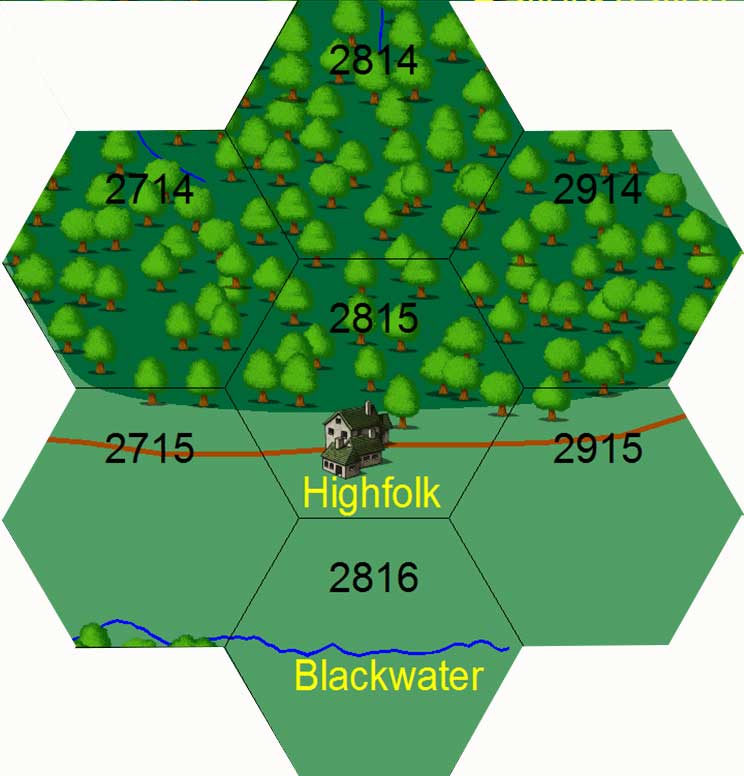 Map-highfolk.jpg 744 × 776; 51 KB
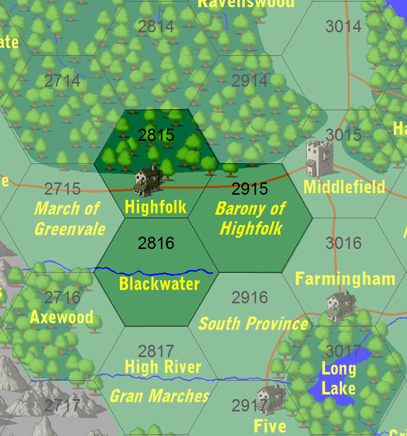 Map-highfolk 2.jpg 795 × 851; 185 KB
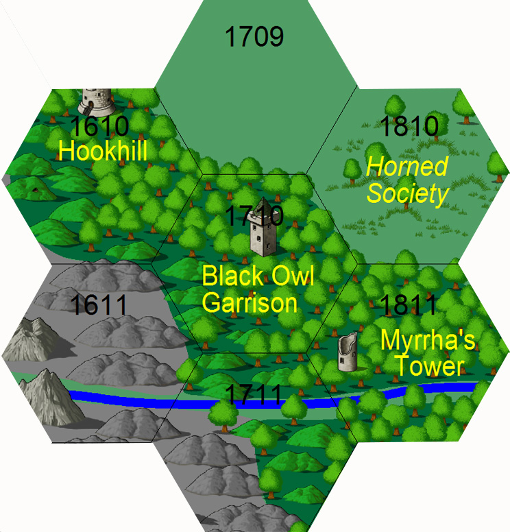 Map-hookhill.jpg 744 × 776; 241 KB
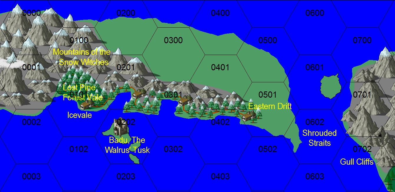
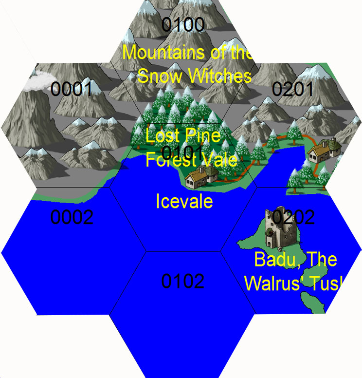 Map-icevale.jpg 744 × 776; 128 KB
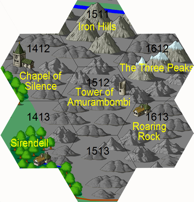 Map-iron hills.jpg 744 × 776; 231 KB
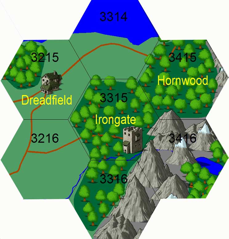 Map-irongate.jpg 744 × 776; 64 KB
 Map-irongate 2.jpg 713 × 846; 190 KB
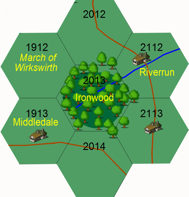 Map-ironwood.jpg 744 × 776; 89 KB
 Map-korgsland 2.jpg 1,342 × 653; 519 KB
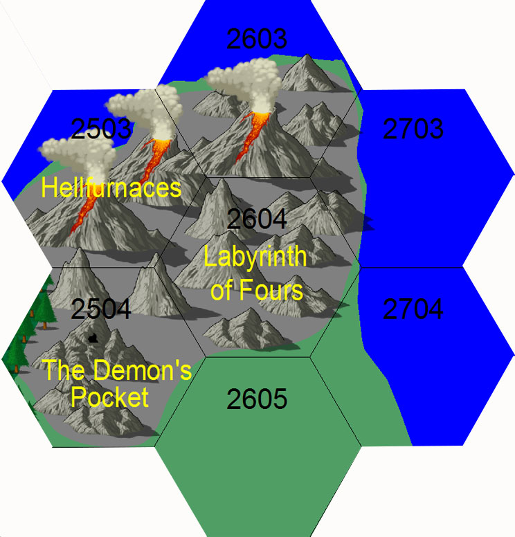 Map-labyrinth of fours.jpg 744 × 776; 106 KB
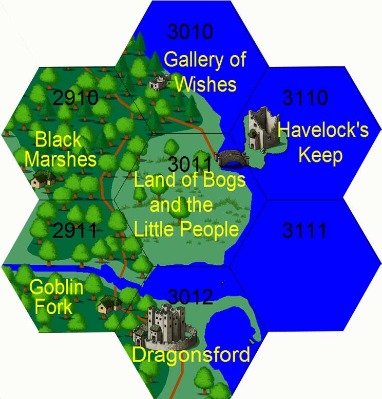 Map-land of bogs.jpg 744 × 776; 70 KB
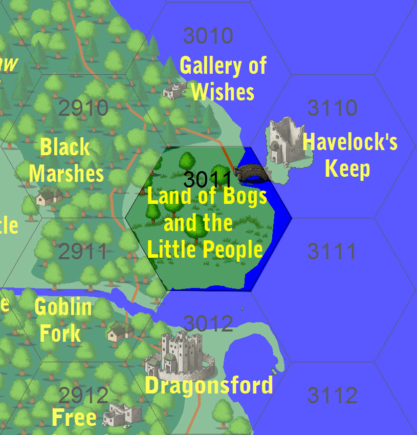 Map-land of bogs 2.jpg 815 × 849; 164 KB
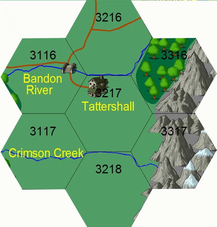 Map-lichfield.jpg 744 × 776; 51 KB
 Map-lichfield 2.jpg 496 × 852; 128 KB
 Map-lichfield 3.jpg 719 × 855; 180 KB
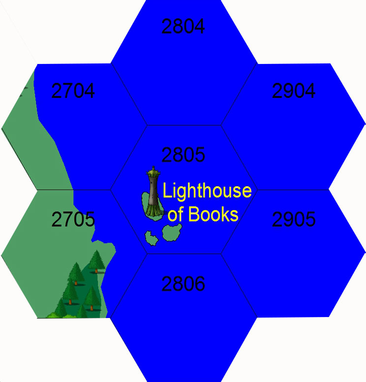 Map-lighthouse books.jpg 744 × 776; 59 KB
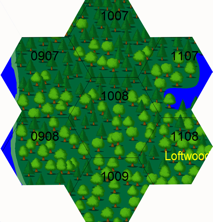 Map-loftwood.jpg 744 × 776; 530 KB
 Map-loftwood2.jpg 744 × 776; 530 KB
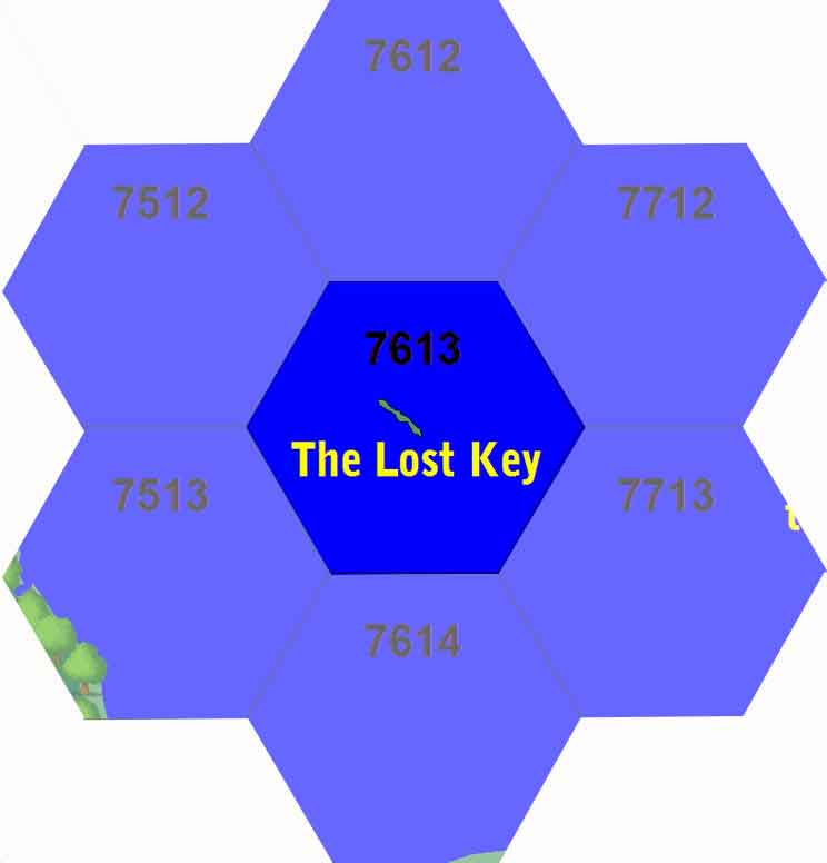 Map-lost key.jpg 744 × 776; 16 KB
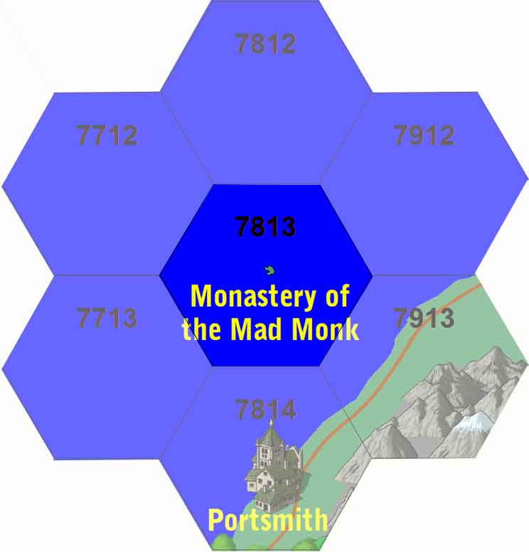 Map-mad monk.jpg 744 × 776; 23 KB
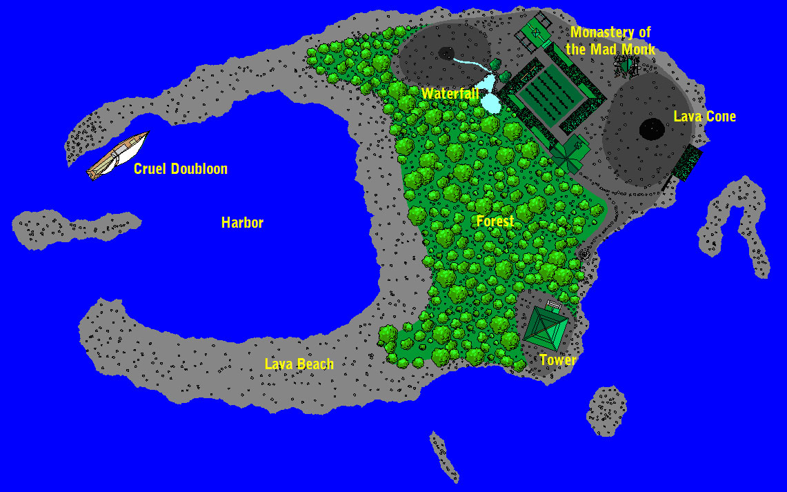 Map-mad monk2.jpg 1,141 × 713; 223 KB
 Map-maldonbridge.jpg 1,212 × 1,732; 190 KB
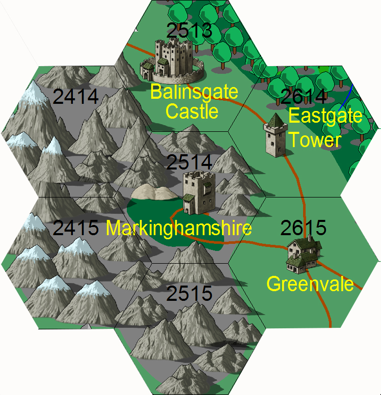 Map-markinghamshire.jpg 748 × 776; 473 KB
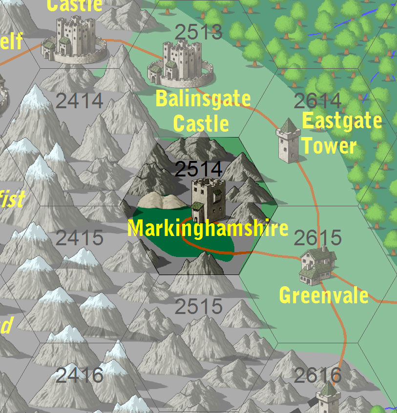 Map-markinghamshire 2.jpg 813 × 847; 186 KB
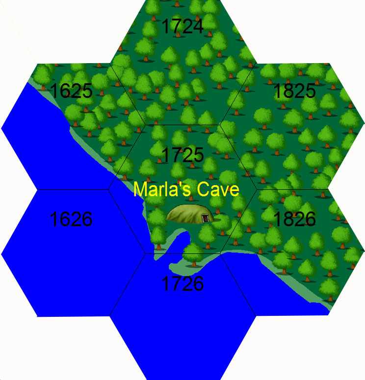 Map-marla.jpg 744 × 776; 106 KB
 Map-matcon6.jpg 2,620 × 1,998; 1.84 MB
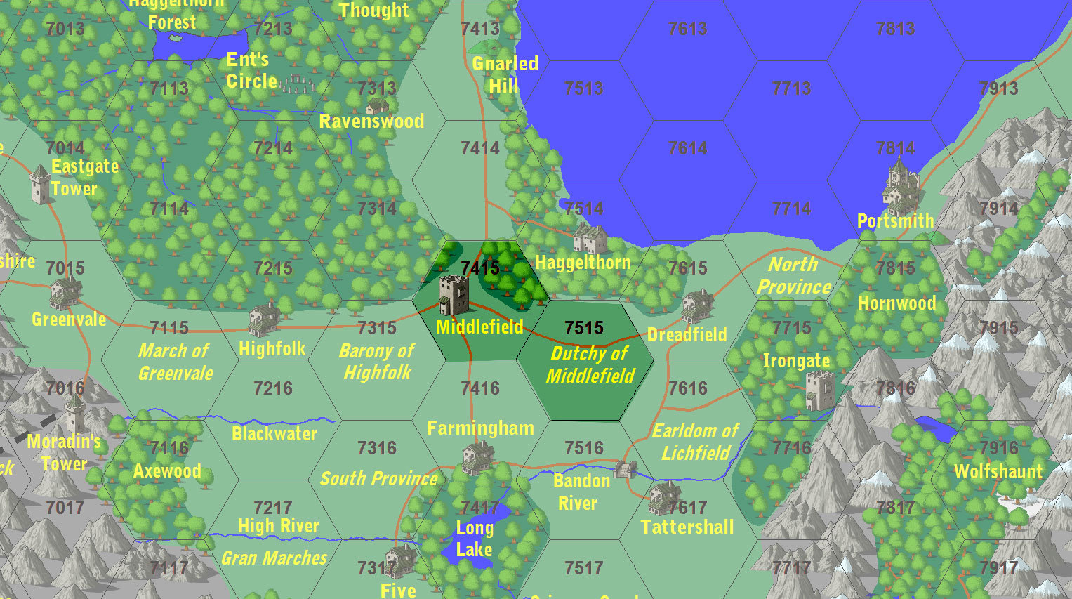 Map-mddlefield 2.jpg 1,527 × 853; 379 KB
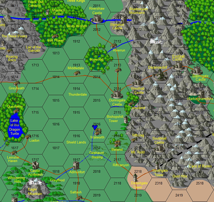 Map-middle reaches.jpg 750 × 710; 493 KB
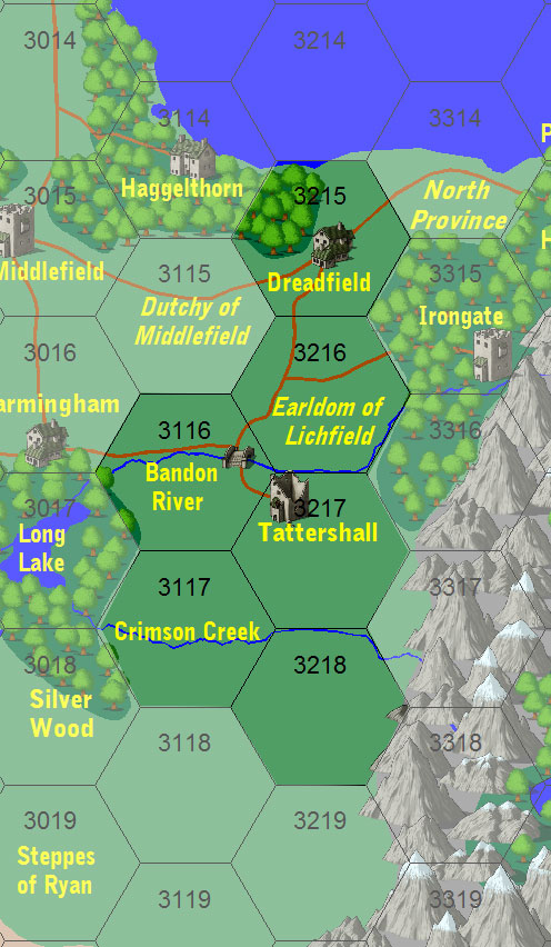
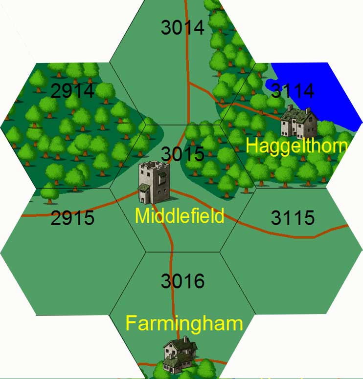 Map-middlefield.jpg 742 × 776; 52 KB
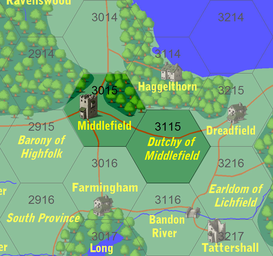 Map-middlefield 2.jpg 911 × 854; 182 KB
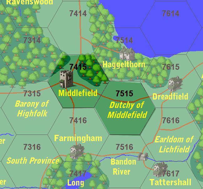 Map-middlefield 3.jpg 648 × 604; 114 KB
 Map-middlewich.jpg 744 × 776; 154 KB
 Map-mount todd.jpg 744 × 776; 126 KB
 Map-netherworld history.jpg 1,206 × 1,738; 371 KB
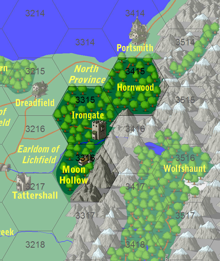
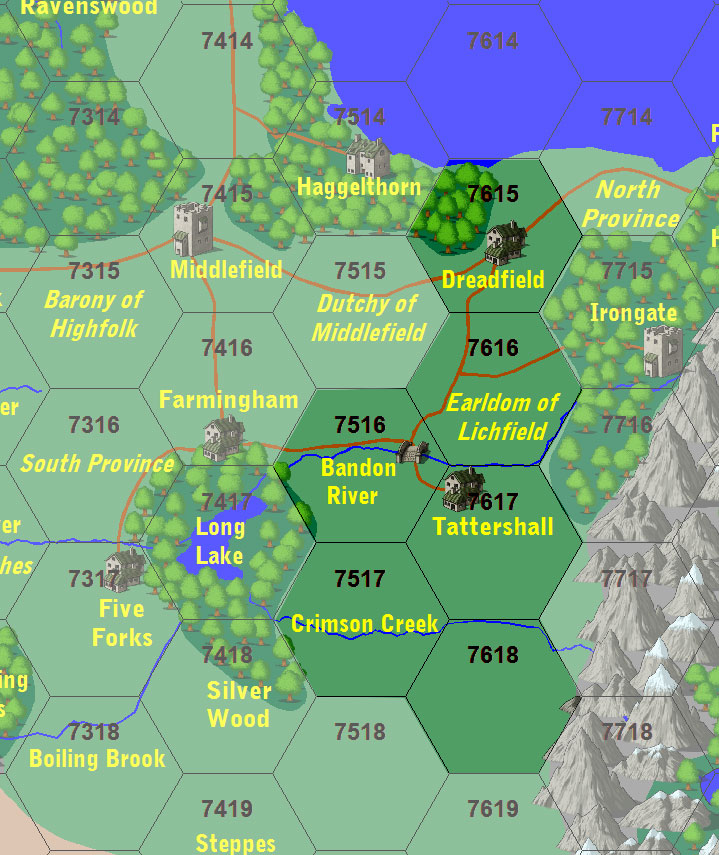
 Map-north-province.jpg 742 × 776; 52 KB
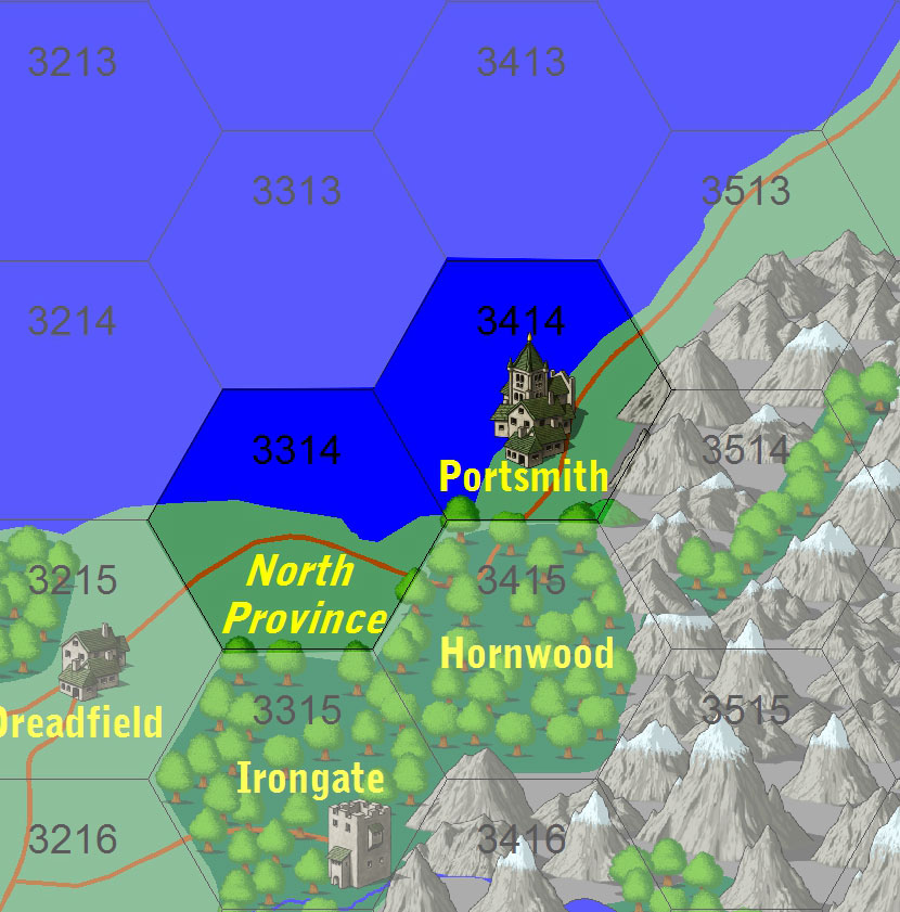 Map-north province 2.jpg 830 × 841; 146 KB
 Map-oblivion.jpg 2,002 × 1,482; 723 KB
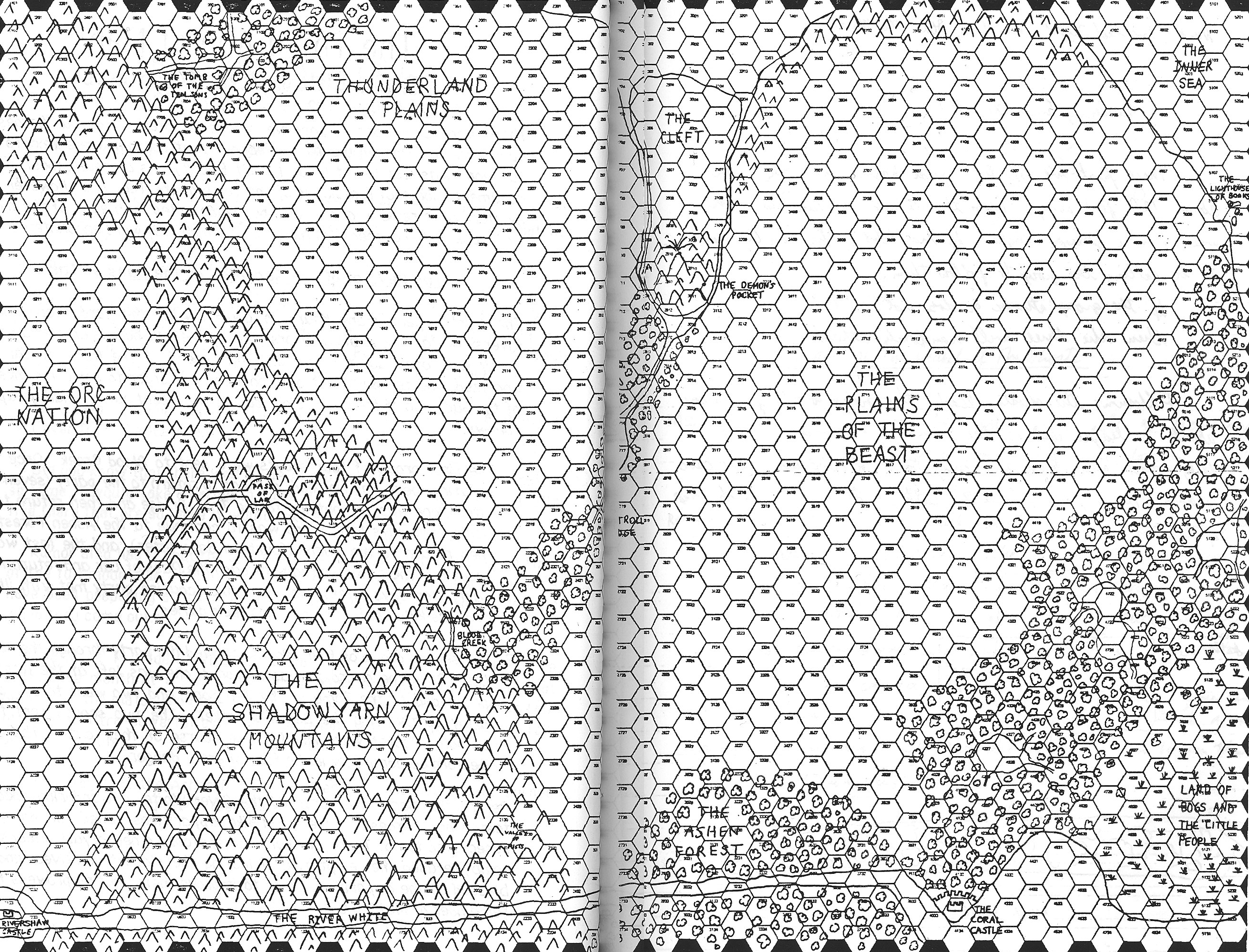
 Map-orc east.jpg 752 × 795; 584 KB
 Map-orc west.jpg 754 × 881; 681 KB
 Map-orling.jpg 744 × 776; 102 KB
 Map-owenglen.jpg 1,230 × 1,732; 225 KB
 Map-pass of lar.jpg 744 × 776; 139 KB
 Map-pictenmoor.jpg 1,218 × 1,732; 216 KB
 Map-places of interest ariandor.jpg 1,732 × 1,224; 387 KB
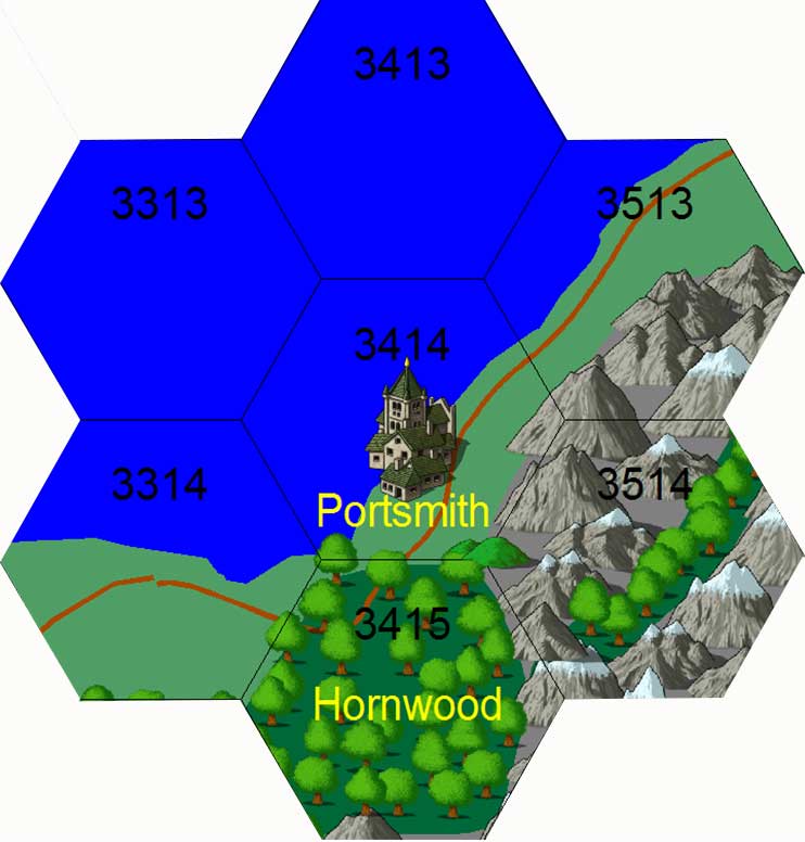
 Map-portsmith.jpg 744 × 776; 31 KB


